Geotechnical Software
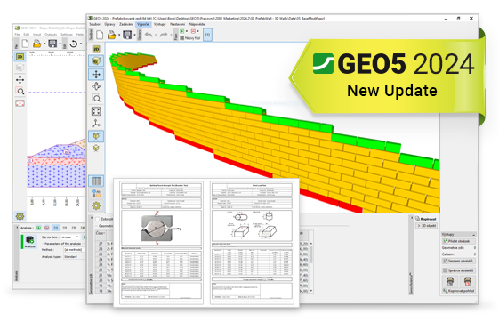
GEO5 is a comprehensive software suite providing solutions for any task
from geological survey to advanced geotechnical design.
More About ↗
Machine Control
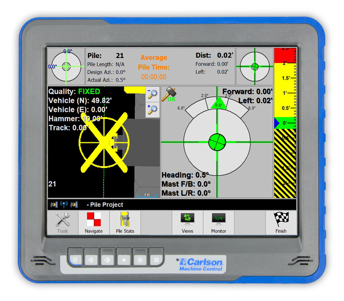
Carlson Software has been a leading innovator of machine control systems since 1996. Solutions include 3D positioning, site connectivity and fleet production monitoring with productivity analysis and reporting for most heavy machine types including dozers, scrapers, shovels, pile drivers, drills and bucketwheels, among others.
Micromine Pitram
Enhance productivity, improve profitability and increase understanding of your operation with a system trusted by many of the world's largest mining organisations.
3D ENGINEERING ENVIRONMENT
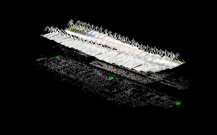
Carlson’s revolutionary Precision 3D environment is much more than a visualization tool, the platform utilizes the latest 3D technologies to give users the intuitiveness of 3D with the precision needed for highly accurate engineering. From point cloud manipulation to hydrologic analysis and design, Precision 3D gives professionals a “game-like” experience, all-the-while producing traditional CAD deliverables through ‘dynamicCAD’ functionality.

PHOTOGRAMMETRY
Carlson Software has long been deeply involved in the fundamental measurement technologies of lasers and GNSS. Software drives these technologies and the newest frontier in measurement, photogrammetry, is no exception. Carlson’s photogrammetry technology, found in Carlson PhotoCapture, gives users the ability to turn pixels into accurate point clouds using aerial, oblique, or terrestrial images and user-defined control points. With a point cloud created, features can be extracted and drawn as lines or symbols in CAD. Users can also contour, pull profiles and sections along alignments and make TIN surfaces.
Carlson Geology
Analyze, Model, and Perfect Your Geologic Work
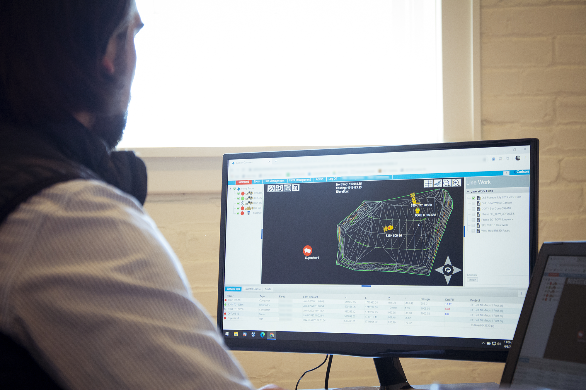
Carlson Command
Site Management and Monitoring Software
Carlson Surface Mining
Design, Modify, and Simulate Your Surface Mine


